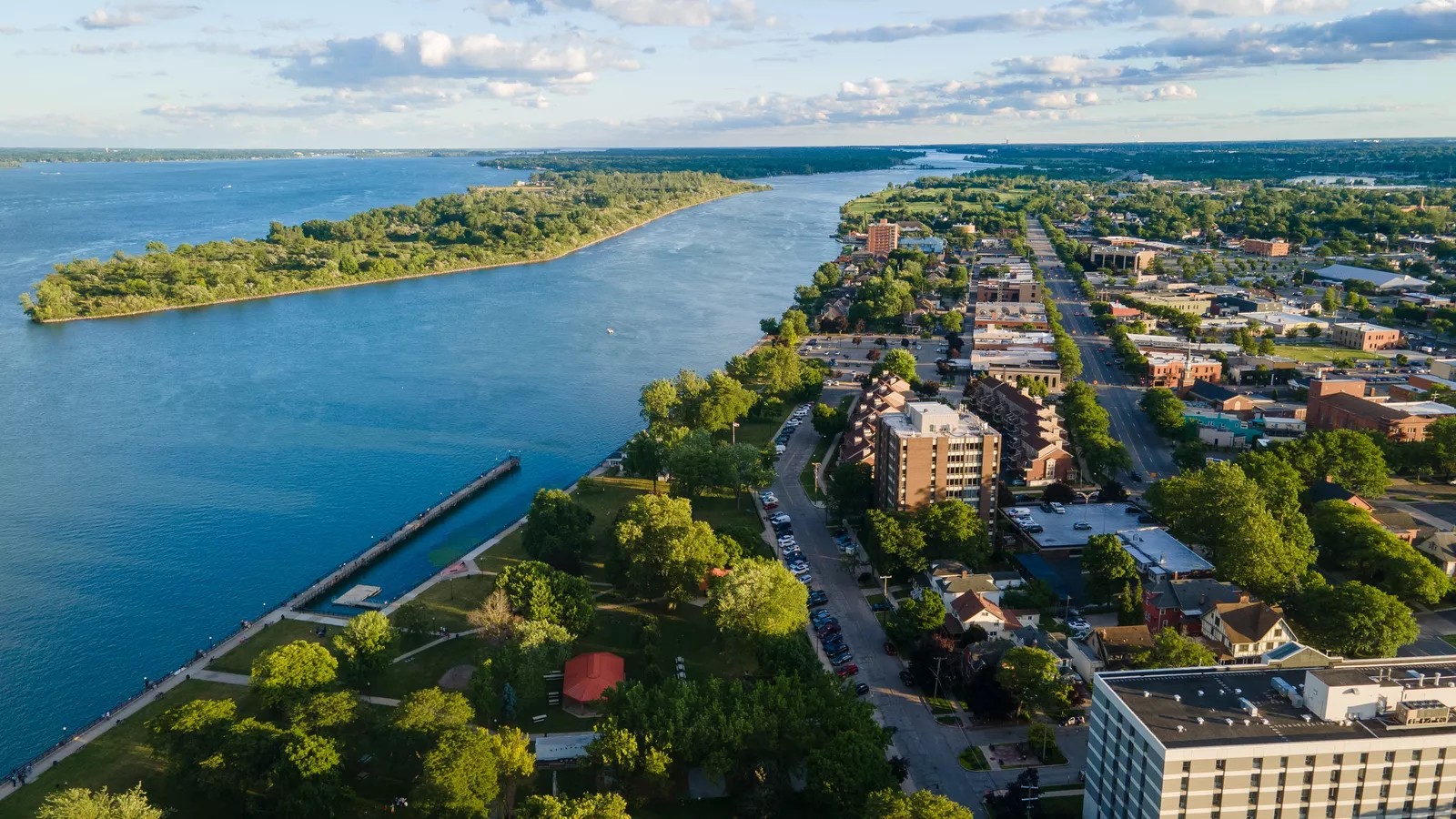
What Is GIS Emergency Management and Why It Matters
Nov. 10th, 2026 12:00 pm
Emergency managers make better decisions when they understand where hazards, people, and critical resources sit across a community. Geographic information system (GIS) tools answer those location questions with layered maps your whole team can read. GIS emergency management applies that mapping power to every phase of your program, from planning through recovery.
In this article, you will learn how GIS supports mitigation, preparedness, response, and recovery work. You will also see what it takes to build a mapping program your partners trust year after year. Every insight applies whether you serve a county, a city, a campus, or a regional utility.
What Is GIS Emergency Management?
GIS emergency management is the use of mapping and spatial analysis to plan for, respond to, and recover from disasters. It combines hazard data, infrastructure, population details, and live incident information on shared, interactive maps. As a result, your team sees risks earlier, coordinates resources faster, and documents every decision by location.
How GIS Emergency Management Supports Mitigation and Preparedness
The most valuable mapping work happens long before an incident, when your team still has time to reduce risk. GIS emergency management helps you identify where hazards overlap with homes, schools, hospitals, and critical infrastructure. According to the Federal Emergency Management Agency (FEMA), flood maps help communities build strategies that reduce local risk.
First, overlay flood zones, wildfire risk areas, and earthquake faults on top of your community's assets. Next, use those overlays to prioritize mitigation projects, such as drainage upgrades or defensible space programs. Then, map evacuation routes, shelter sites, and staging areas so your plans reflect real geography.
According to FEMA's National Flood Hazard Layer page, the agency shares current flood hazard data as a geospatial database. Importing authoritative layers into your own maps strengthens local plans with verified federal data.
Additionally, maps make preparedness outreach easier, since residents understand a map faster than a written warning. You can show neighborhoods their evacuation zone, nearest shelter, and safest route in a single image. Consequently, residents act faster and with less confusion when you issue an evacuation order.
Using Maps to Guide Response and Recovery
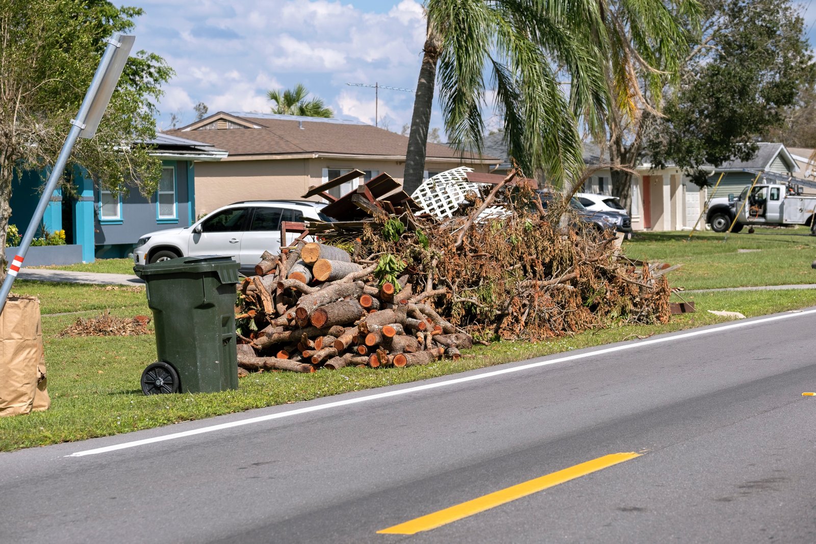
When an incident strikes, maps shift from planning tools into the shared picture that guides every decision. GIS emergency management keeps working long after the response ends, supporting damage assessment and rebuilding efforts. Across response and recovery, maps help your team handle the following critical tasks with confidence.
-
Resource tracking: Showing where crews, equipment, and supplies sit so leaders deploy them where needs are greatest.
-
Damage assessment: Pinning field reports and photos to exact addresses so teams see the full scope of impact.
-
Recovery planning: Mapping debris removal, utility restoration, and rebuilding progress so partners coordinate without duplicating work.
-
Public information: Sharing simple maps of closures, shelters, and assistance centers with residents and media.
In practice, the same map should follow an incident from the first call through final recovery. For instance, damage pins collected on day one later guide debris contracts and assistance center locations. Keeping that history in one place saves your team from rebuilding information for every new phase.
According to the U.S. Geological Survey (USGS), federal flood forecast maps combine precipitation data with USGS streamflow measurements. Adding forecast layers to your response map helps you warn neighborhoods before rising water reaches them.
Meanwhile, DLAN's capabilities connect map locations to tasks, damage reports, and resource requests in one secure platform. Plug-and-play toolkits add specialized forms and dashboards that tie field data directly to your maps. As a result, response and recovery teams share one record instead of juggling separate spreadsheets.
Building a Strong GIS Emergency Management Program
A lasting program needs more than software, since data quality, partnerships, and people determine whether maps stay useful. Start your GIS emergency management program by naming who owns each data layer and how often it updates. Clear ownership keeps shelter lists, road networks, and facility records accurate when an incident arrives.
Next, connect your maps to the partners and systems that already hold valuable location data. Buffalo Computer Graphics (BCG) offers GIS and integration services that link DLAN with county, utility, and campus data sources.
Then, build your maps into written plans so every annex points to the same layers and symbols. BCG's emergency management plan development services help you align evacuation, shelter, and recovery annexes with your mapping data. Similarly, shared symbols and naming conventions help partners read each map without a legend lesson.
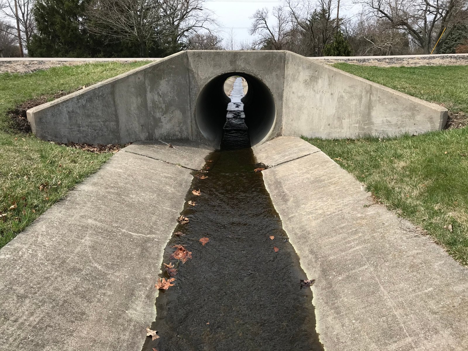
Imagine a county that maps every culvert and drainage ditch after spring flooding damages several low-lying roads. Because the map reveals clogged drainage near repeat problem areas, crews clear those sites before the next storm. Afterward, the same layer supports grant applications that fund permanent drainage improvements across the county.
Finally, train staff and partners to read, update, and share maps as part of everyday work. BCG's role-based training builds that confidence long before a disaster tests your mapping program.
Turn Location Data Into Lasting Community Resilience
GIS emergency management gives your team a clearer view of risk before, during, and after every disaster. Still, maps only deliver that value when accurate data, connected partners, and trained staff stand behind them. The right partner helps you build that foundation once and strengthen it every year.
At BCG, our Buffalo engineers build DLAN and its mapping integrations in-house, guided by real emergency managers. You gain responsive support, transparent terms with no hidden costs, and a partner committed to your community's resilience. Contact our mapping specialists to start building a GIS program that serves every phase of your mission.

