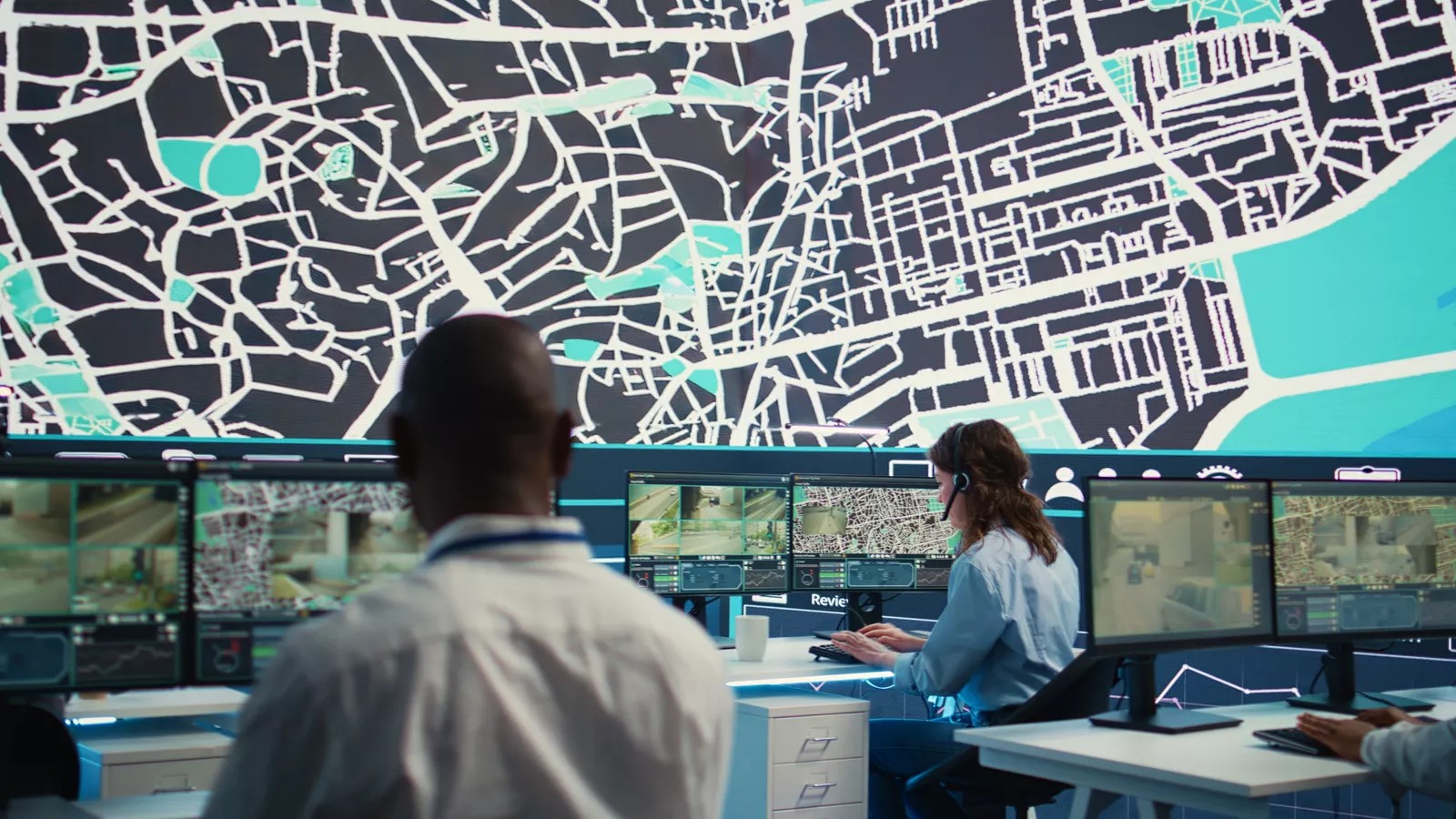
One Company. Two Powerful Platforms.

At Buffalo Computer Graphics, we design and support advanced technology systems that help people make better, faster, and safer decisions—no matter the mission. Whether you're managing a crisis or navigating open waters, you can count on us for:


Proven Performance in High-Stakes Environments


Flexible, Secure Deployment (Cloud or On-Prem)


Modular & Scalable Software Design


U.S.-Based Development & Technical Support


Built with Real-World User Feedback


30+ Years of Industry Expertise

Purpose-Built Platforms for Specialized Fields


DLAN: Incident Management Software

For emergency managers, responders, hospitals, utilities, and more.

Discover DLAN


Maritime Simulation Systems

Radar, communications, and navigation training tools for military and commercial use.

Explore Maritime

Trusted by Professionals Across Industries

We work across a variety of sectors to solve complex challenges with dependable, scalable technology:

  • Emergency Management Agencies
  • Public Safety / First Responders
  • U.S. Military / DoD
  • Hospitals & Healthcare
  • Utilities & Infrastructure
  • Maritime Academies
  • Commercial Shipping & Ports

See All Industries

Built in Buffalo. Trusted Worldwide.

Since 1982, we’ve partnered with government agencies, private industry, and academic institutions to develop and evolve mission-ready software tools. Our reputation is built on long-term client success, reliability, and responsive service.

  • 300+ deployments across the U.S.
  • Customers in 10+ countries
  • Used in FEMA, Coast Guard, and DoD training programs

What Our Partners Say

Blog

  • How API Integrations Improve Emergency Response Coordination

    11/11/2026 12:00:00 PM

    An application programming interface (API) lets dispatch, weather, mapping, and alerting systems share data automatically during an incident. Learn how the API integrations emergency response teams build today speed decisions, cut errors, and keep partners aligned.

  • What Is GIS Emergency Management and Why It Matters

    11/10/2026 12:00:00 PM

    Geographic information system (GIS) tools help emergency managers see where hazards, people, and critical resources overlap across a community. Learn how GIS emergency management supports mitigation, preparedness, response, and recovery, plus how to build a lasting program.

  • Why GIS Software for Emergency Management Is Critical for Modern Incident Response

    11/05/2026 12:00:00 PM

    Geographic information system (GIS) software for emergency management turns hazards and live data into one shared map. Learn how mapping builds situational awareness, which features matter most, and how to make GIS part of daily operations.

View All Posts →